Whakapapa Village
Tama Lakes Track
Intermediate 17 kmreturn 5–6 hr return ↑ 686 m
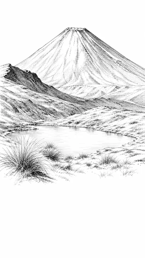
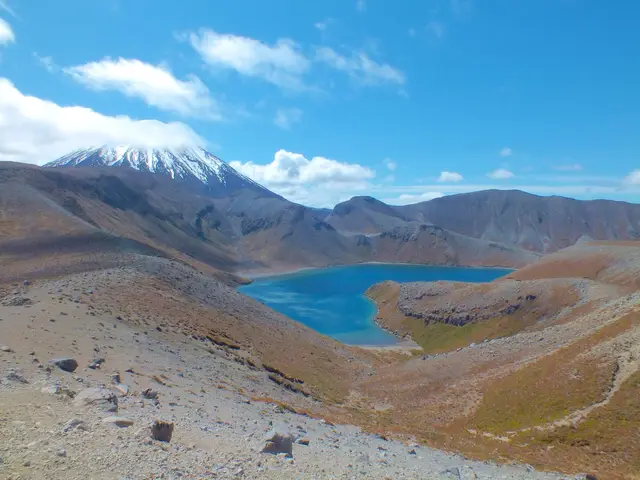
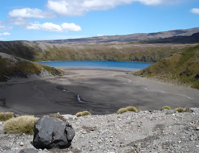
The most dramatic viewpoint in the Whakapapa area: a crater lake directly below Ngāuruhoe.
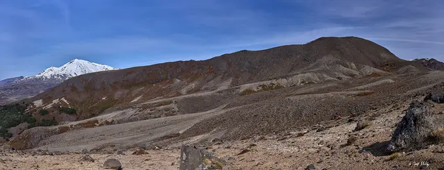
A steep, exposed scramble up a scoria ridge ends abruptly at a cliff edge above the Upper Tama Lake, with Ngāuruhoe filling the view to the north and the Ruapehu massif behind you. The final 1.4 km is a rough tramping route, not a formed track, and the ridge is dangerous in wind, cloud, snow or ice.
⚠ Exposed ridge above cliffs; turn back in high wind, poor visibility, snow or ice.
❄ The ridge holds snow and ice from June into October. Only go up in winter conditions with alpine skills and equipment.
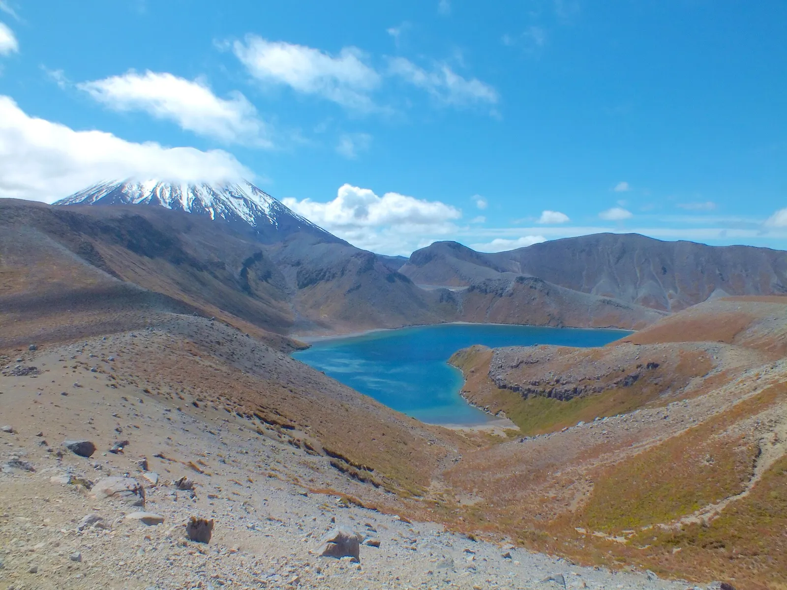 Upper Tama Lake © Bohwaz · FAL
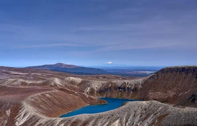 © Geoff McKay · CC BY 2.0
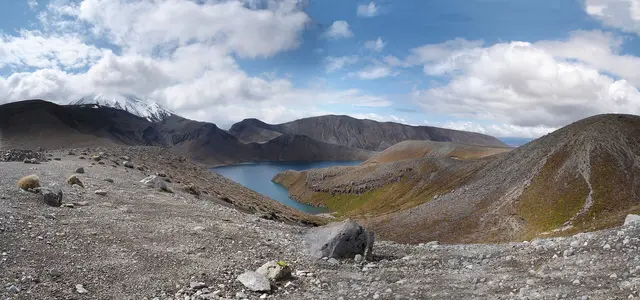 © Arne Hückelheim · CC BY-SA 3.0
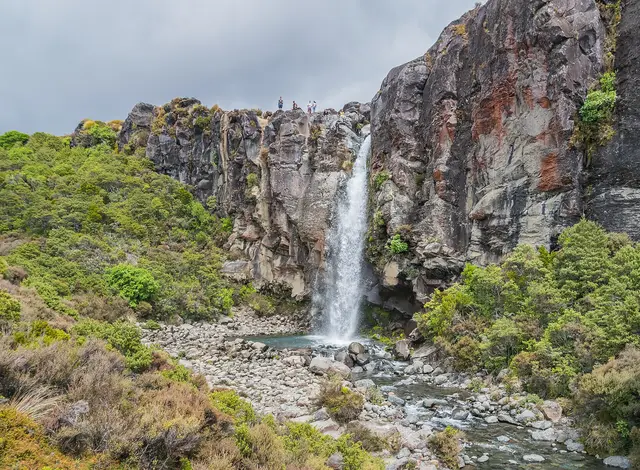
A 20 m waterfall plunging over the edge of a 15,000-year-old lava flow.
A deep blue explosion crater lake on the saddle between Ruapehu and Ngāuruhoe.
Creamy-white and golden mineral terraces where spring water runs over old lava.