Whakapapa Village
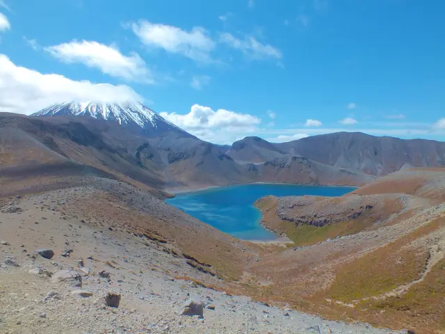
Tama Lakes Track
Intermediate 17 kmreturn 5–6 hr return ↑ 686 m
A quiet, serious circuit of Ruapehu through desert, gorges, waterfalls, lava valleys and six huts, far from the crowds of the Crossing.
 Round the Mountain Track © Sarang · Public domain
 © ShakyIsles · CC BY-SA 4.0
 © ShakyIsles · CC BY-SA 4.0
DOC distance 66 km; the mapped line measures 72.1 km.
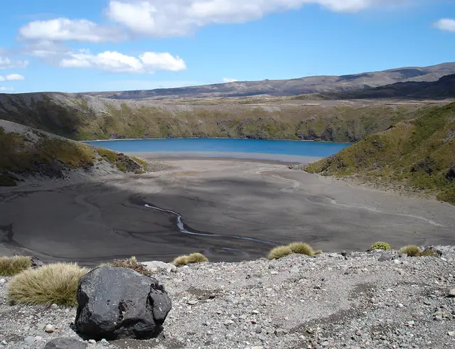
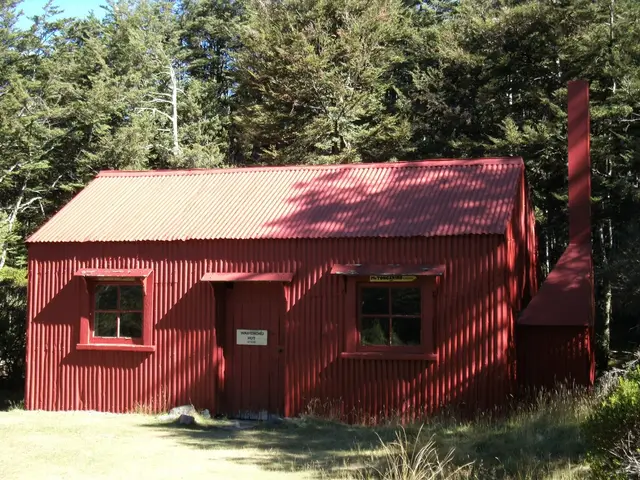
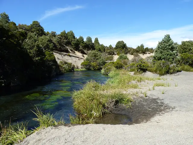
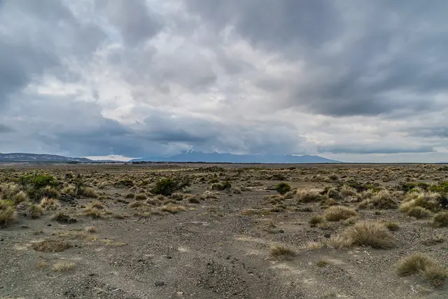
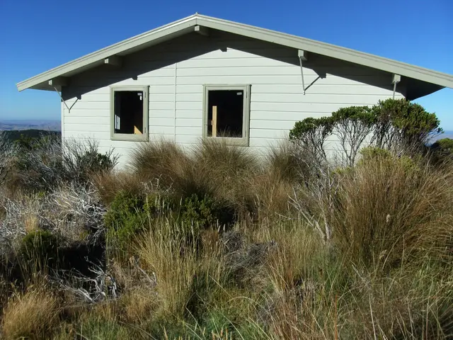
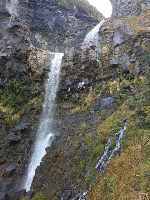
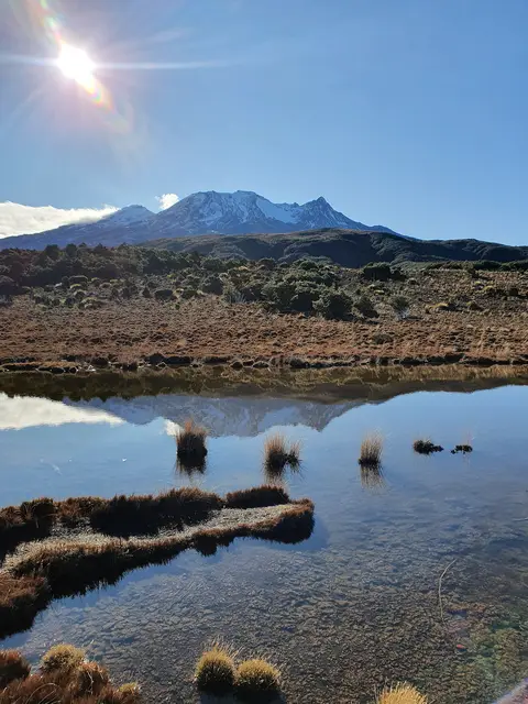
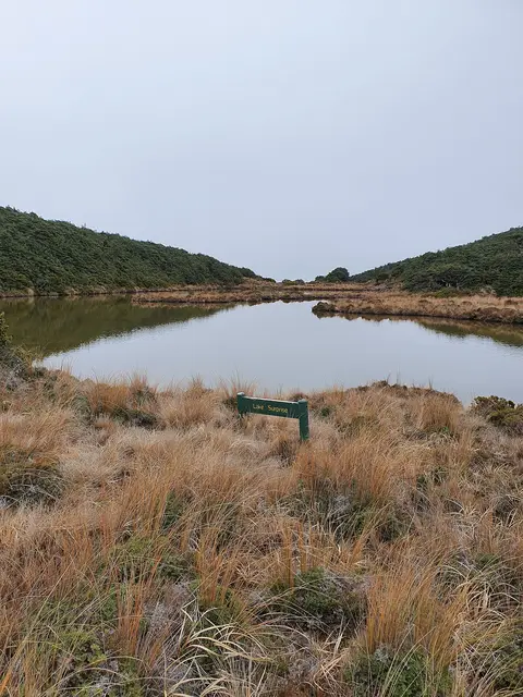
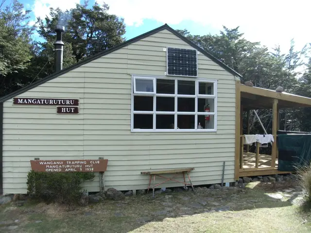
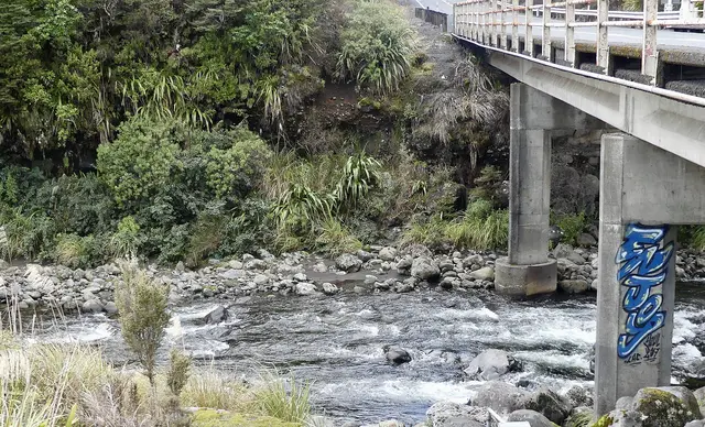
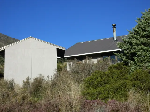
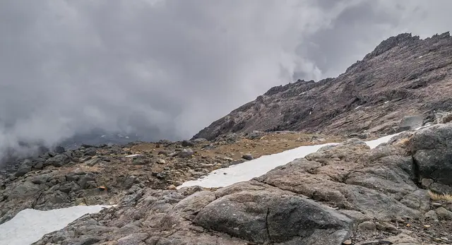
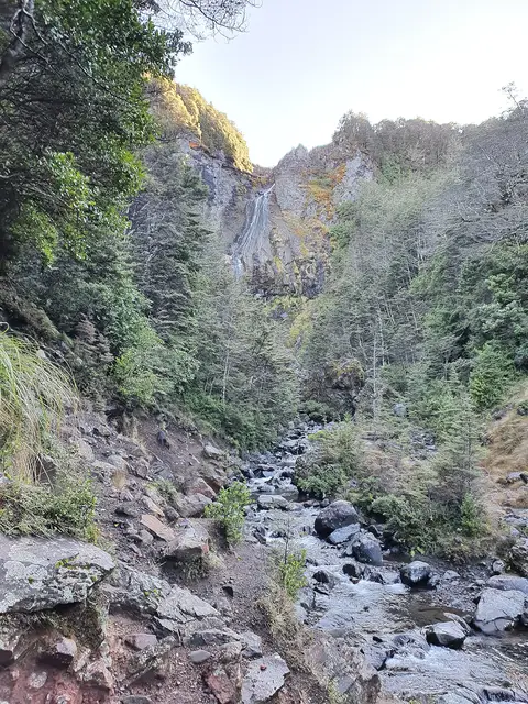
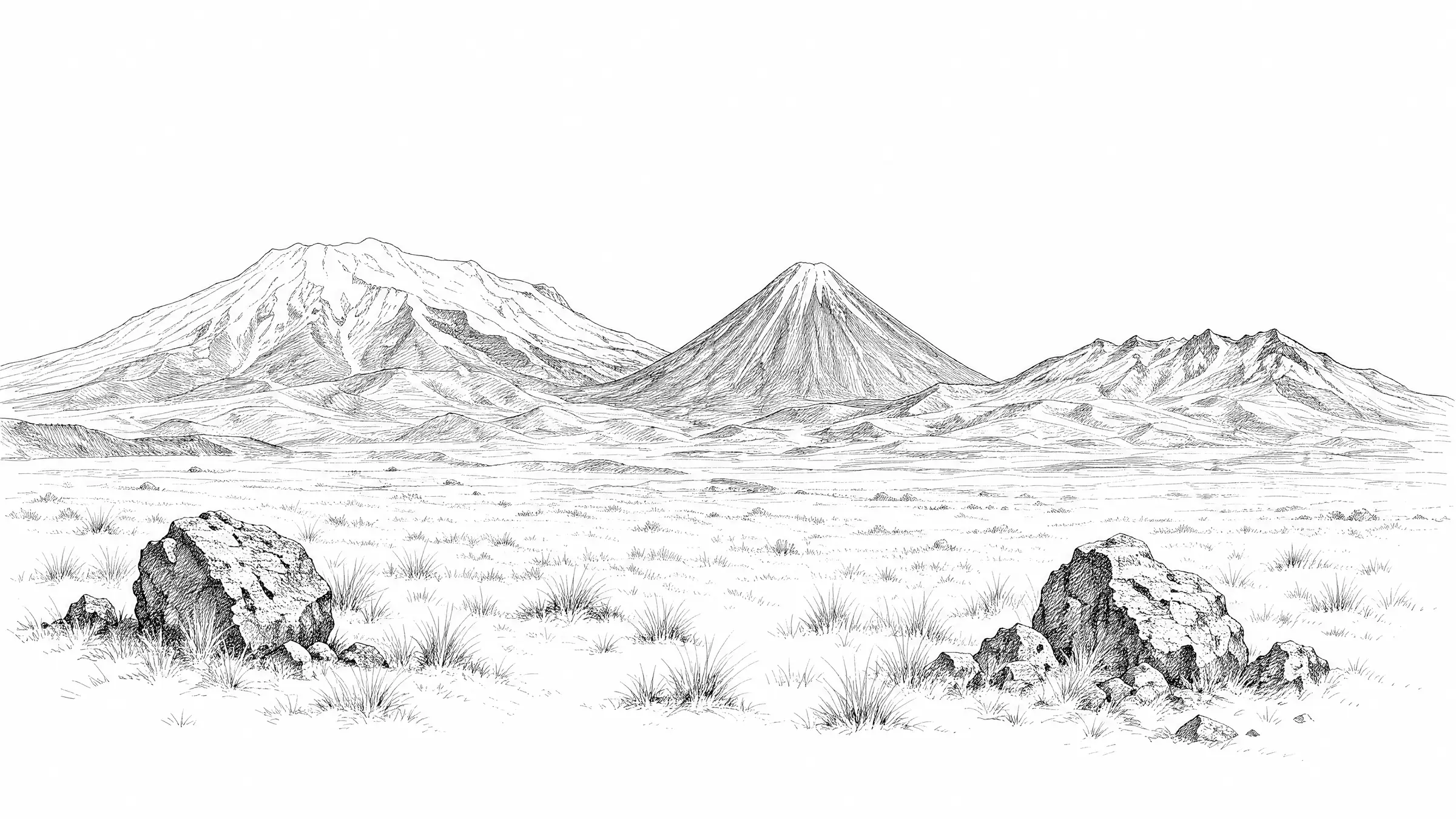
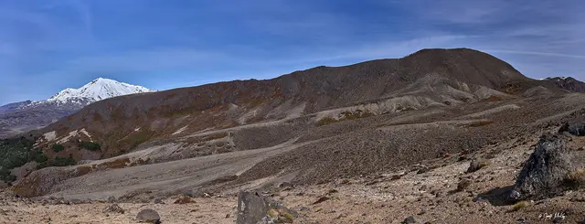
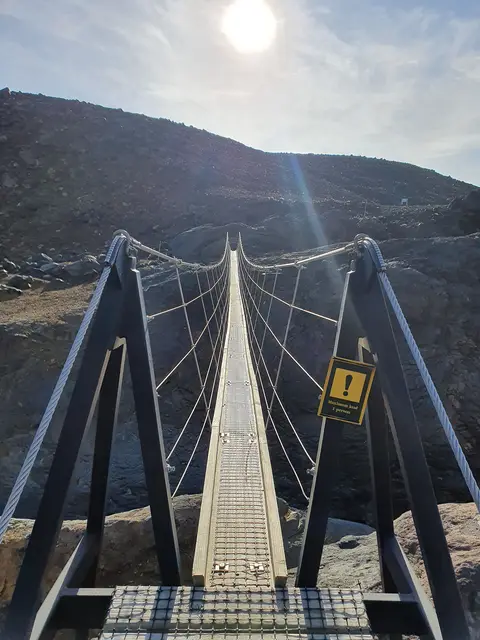
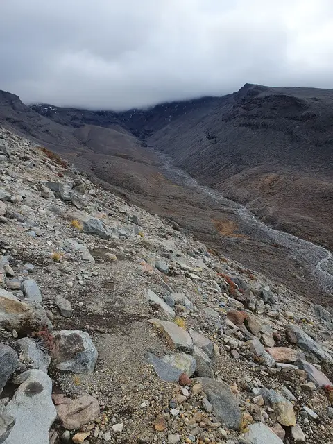
Clockwise from Whakapapa: over the Tama Saddle to Waihohonu, across the Rangipō Desert to Rangipō Hut, through the Whangaehu lahar valley to Mangaehuehu Hut, past Waitonga Falls to Ohakune Mountain Road, down the Cascade to Mangaturuturu Hut, across the western lava fields to Whakapapaiti Hut and home. Unbridged rivers, long exposed sections and no bookings needed outside the Great Walk huts.
Start. Whakapapa Village (or Ohakune Mountain Road)
Sections above 1,400 m carry snow in winter and the Whangaehu crossing is dangerous after rain or during volcanic activity.
Best season: November to April
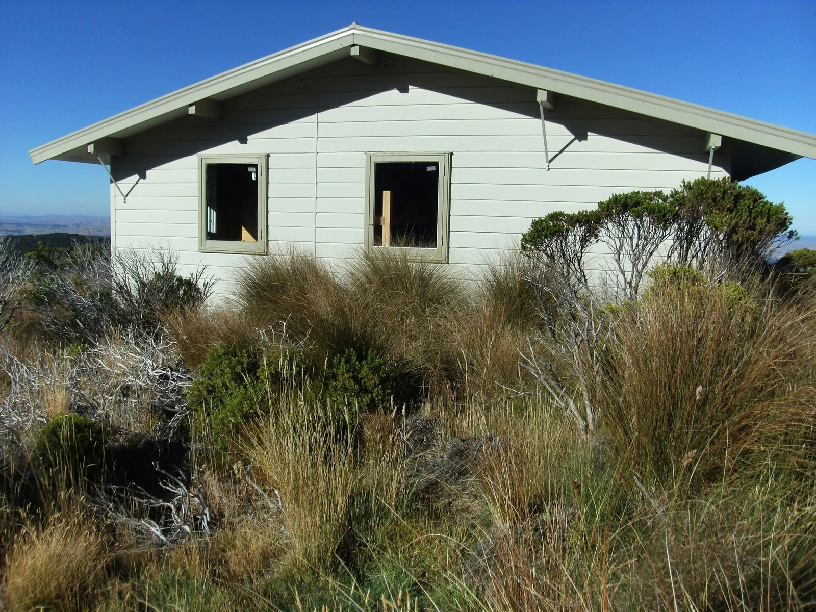 © Sarang · Public domain
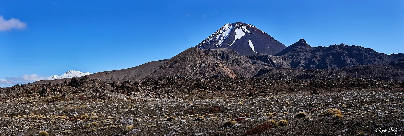 © Geoff McKay · CC BY 2.0
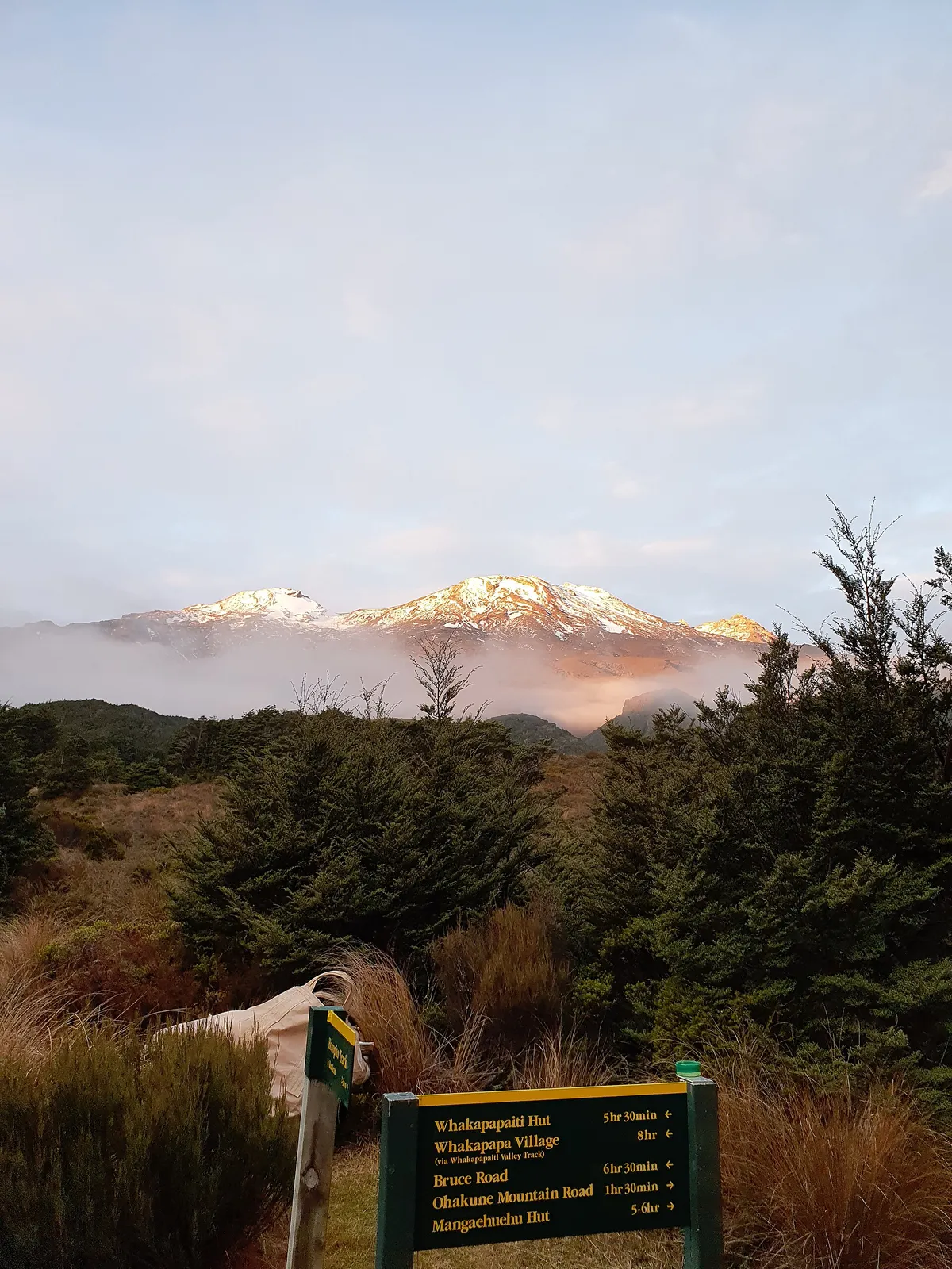 © ShakyIsles · CC BY-SA 4.0 © ShakyIsles · CC BY-SA 4.0 © ShakyIsles · CC BY-SA 4.0