Ohakune & Tūroa
Mangawhero Falls Walk
Easiest 200 mreturn 10 min return ↑ 4 m
Boardwalk across an alpine wetland that mirrors Ruapehu, then forest to the park’s highest waterfall.
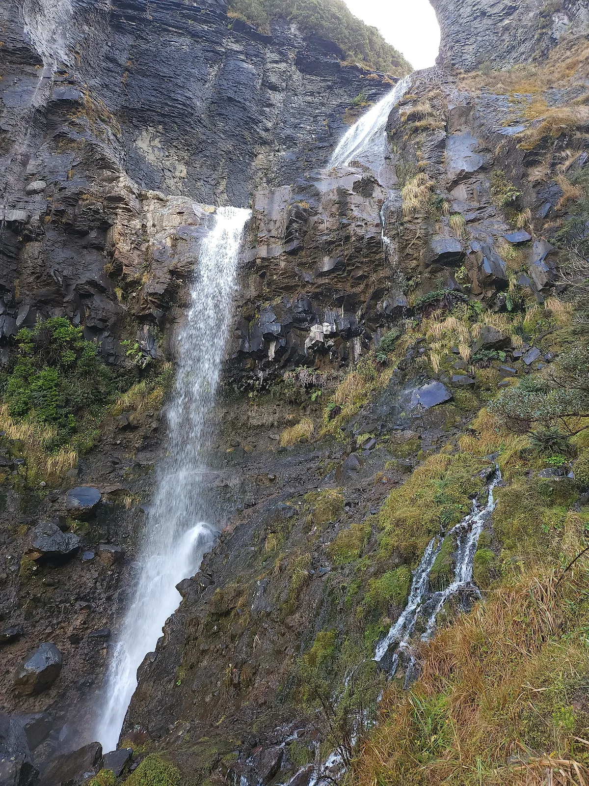 Waitonga Falls Track © ShakyIsles · CC BY-SA 4.0
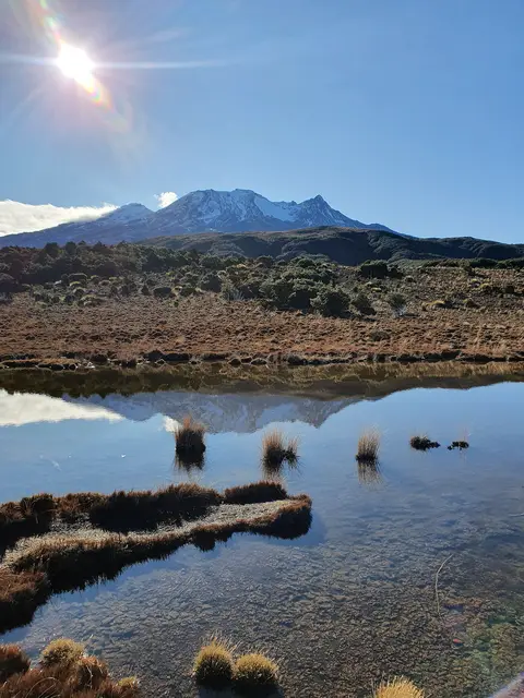 © ShakyIsles · CC BY-SA 4.0
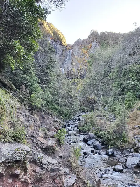 © ShakyIsles · CC BY-SA 4.0
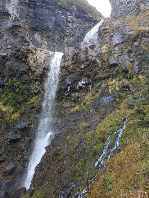
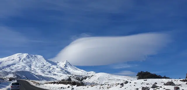
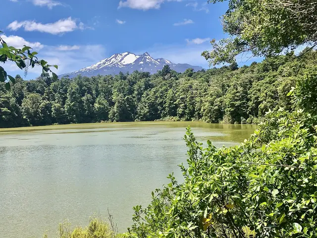
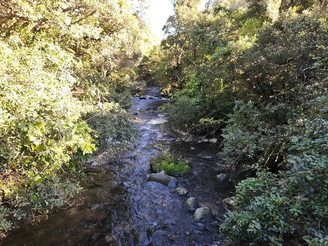
The track crosses the Rotokawa bog on a boardwalk, with Ruapehu’s southern peaks reflected in the pools on a calm morning, then drops through mountain beech to a viewing platform below the 39 m Waitonga Falls. Steps on the way back up.
Start. Ohakune Mountain Road, 11 km above Ohakune
Snow reaches the track several times each winter, when it is magical but slippery. Ohakune Mountain Road may need chains.
Best season: All year
Live forecast →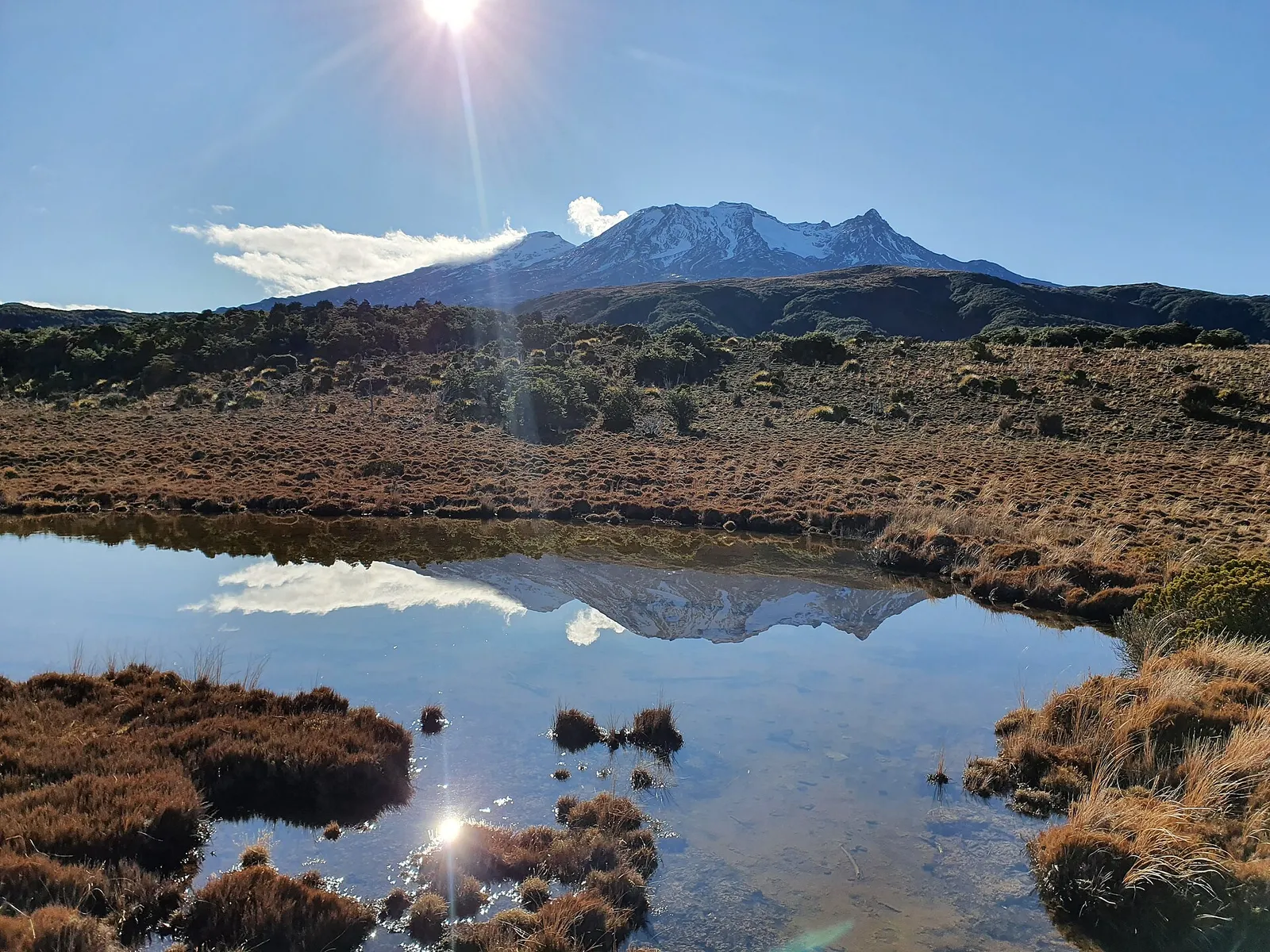 © ShakyIsles · CC BY-SA 4.0
 © ShakyIsles · CC BY-SA 4.0