 © Krzysztof Golik · CC BY-SA 4.0
Tongariro & Mangatepōpō
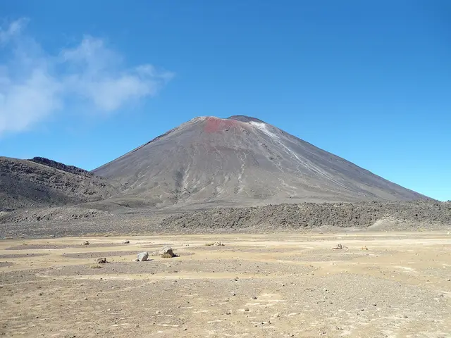
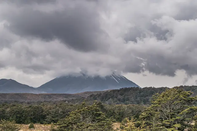
Ngāuruhoe (not recommended)
Expert 3.0 kmreturn +3 hr return ↑ 649 m
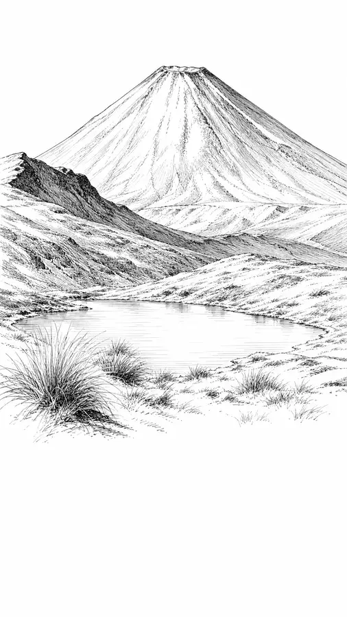
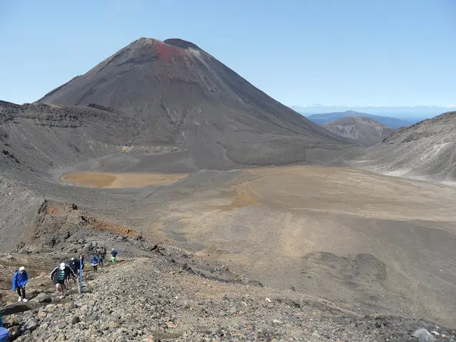
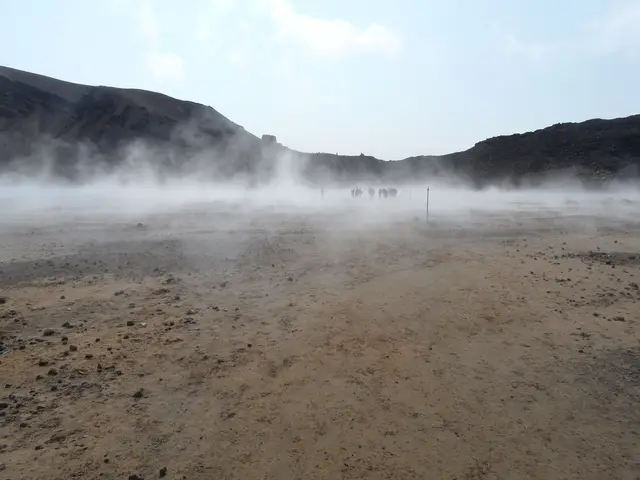
A flat, silent moonscape between Ngāuruhoe and Tongariro.
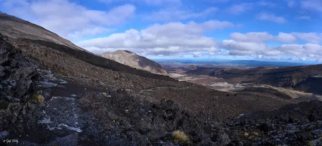
After the Devil’s Staircase the Crossing enters South Crater, a kilometre-wide basin of sand and scoria. Ngāuruhoe’s cone rises 600 m above its southern rim; the Red Crater ridge is ahead. In winter it is a white plain crossed by a line of poles.
❄ Snow-covered from roughly June to October; the poles can be buried after storms.
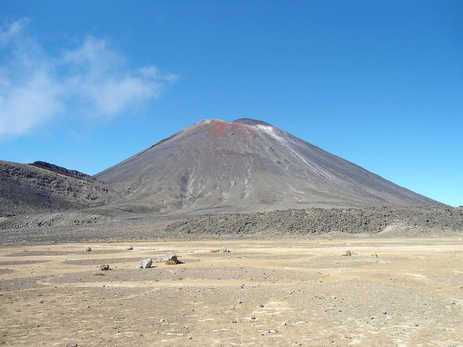 South Crater © Blueromulan · CC BY-SA 3.0
 © Follash · CC BY-SA 4.0
 © Geoff McKay · CC BY 2.0 © Krzysztof Golik · CC BY-SA 4.0
 © Geoff McKay · CC BY 2.0
 © Markrosenrosen · CC BY-SA 3.0
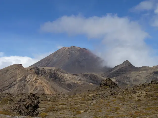 © Michal Klajban · CC BY-SA 4.0
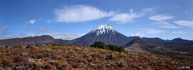 © Geoff McKay · CC BY 2.0
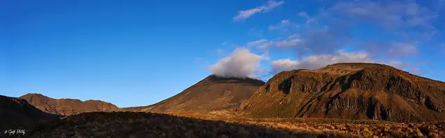 Mangatepōpō Valley © Geoff McKay · CC BY 2.0
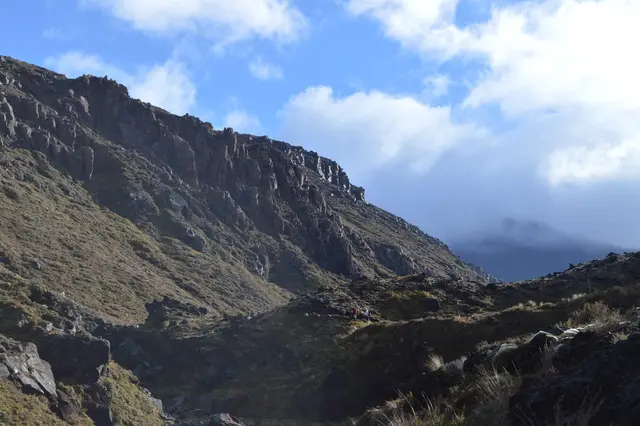 © Porcinno Rondus · CC BY 3.0
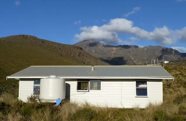 © Michal Klajban · CC BY-SA 4.0
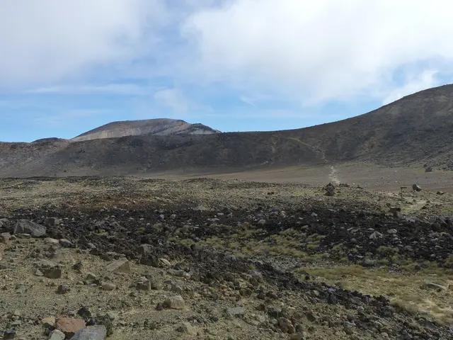
A glacial valley floored with young lava flows beneath the cone of Ngāuruhoe.
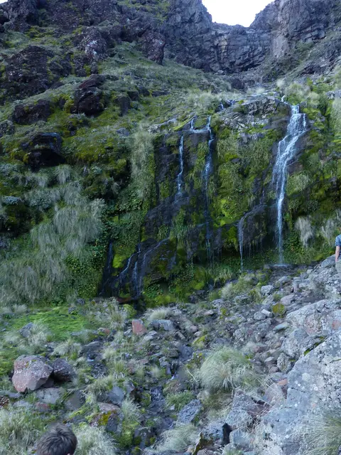
A cold spring seeping from the base of a lava flow, surrounded by alpine wildflowers in summer.
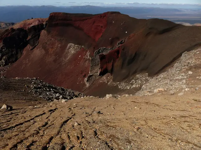
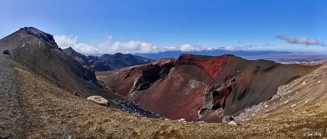
The highest point of the Crossing: a steaming red crater with a dramatic lava dike.