 © Mike Dickison · CC BY 4.0
Tongariro & Mangatepōpō
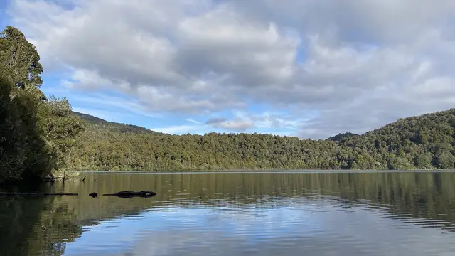
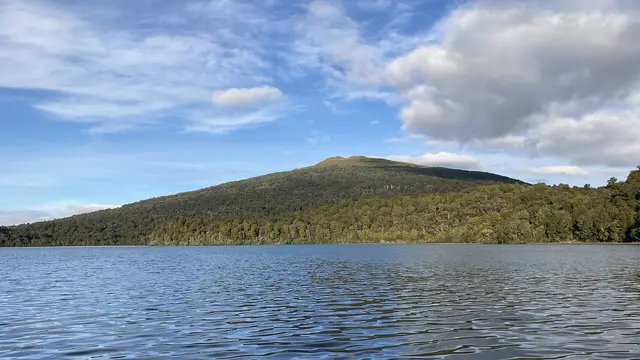
Lake Rotopounamu Track
Easy 5.0 kmloop 2 hr loop ↑ 377 m
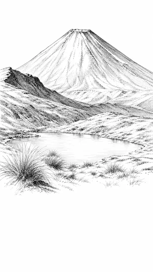
A privately owned lake between Tongariro and Pihanga, seen from SH47 and the Crossing’s descent.
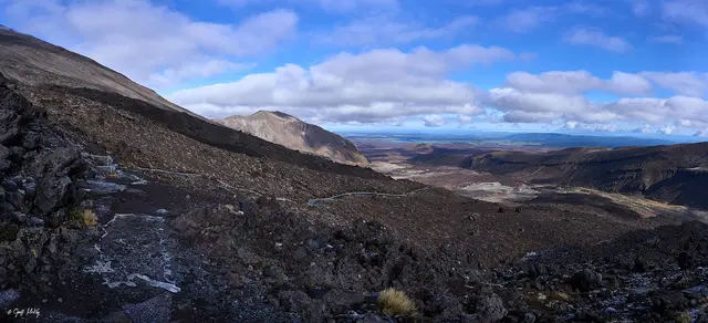
Rotoaira belongs to the Lake Rotoaira Trust and is not open to the public, but the roadside lookouts on SH47 and the northern slopes of the Crossing give beautiful views across its water to Tongariro and the Kaimanawa Ranges.
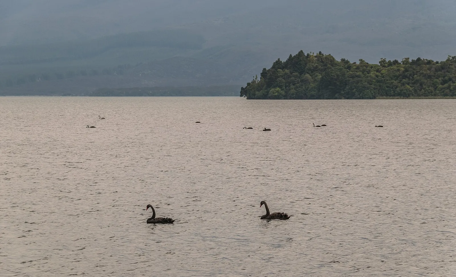 Lake Rotoaira lookout © Krzysztof Golik · CC BY-SA 4.0 © Mike Dickison · CC BY 4.0
 © Geoff McKay · CC BY 2.0
 © Markrosenrosen · CC BY-SA 3.0
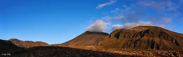 Mangatepōpō Valley © Geoff McKay · CC BY 2.0
 © Porcinno Rondus · CC BY 3.0
 © Michal Klajban · CC BY-SA 4.0
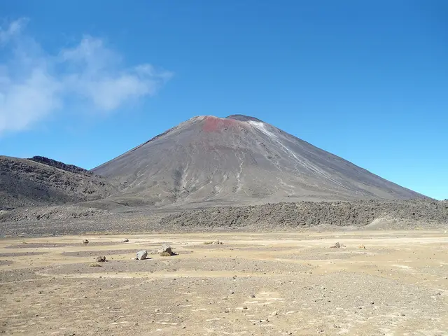
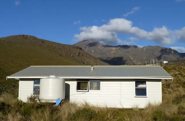
A glacial valley floored with young lava flows beneath the cone of Ngāuruhoe.
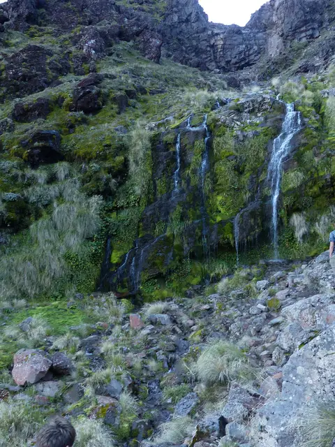
A cold spring seeping from the base of a lava flow, surrounded by alpine wildflowers in summer.
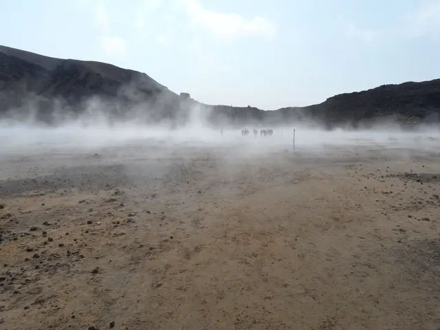
A flat, silent moonscape between Ngāuruhoe and Tongariro.